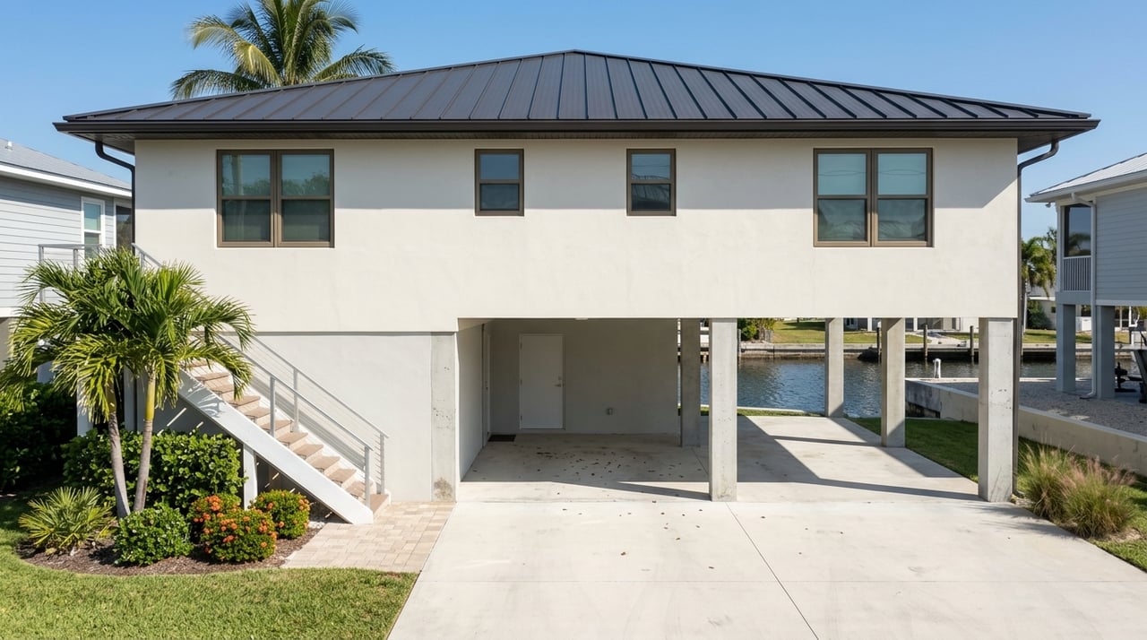
You picture morning coffee on your dock, lines in the water, and a quick cruise to the Gulf. In Hernando Beach, that dream is real, but the details matter. Canals, tides, bridges, and permits all shape how you use and value a waterfront home. In this guide, you’ll learn how access works, what to check before you buy or sell, and how to plan for costs and rules with confidence. Let’s dive in.
What “waterfront” means here
Not all waterfront lots are the same. In Hernando Beach, you’ll find three main types:
- Gulffront: Direct exposure to open water with sweeping views and higher wave energy.
- Navigable canal: A manmade or modified canal that connects to marked channels and the Gulf.
- Limited-access basin: An enclosed or shallow area with restricted navigation.
Each type carries different value and daily realities. Views and access drive pricing, but so do practical factors like depth at low tide, storm surge exposure, and how often the canal needs dredging.
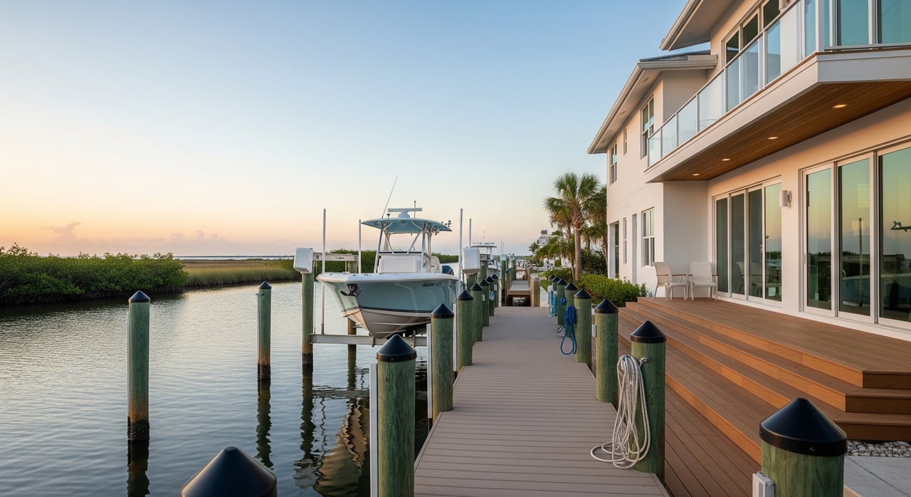
Canals and boat access
The canal system is the heartbeat of Hernando Beach living. Many homes have private docks with routes to larger bays and the Gulf. Your on-water experience depends on depth, channel maintenance, and clearances.
Depth and draft
Depth changes with tides and shoaling. Always verify depth at mean low water (MLW) for your boat’s draft. Local marinas, boatyards, and NOAA nautical charts are reliable sources. Private neighborhood canals can be shallower and may need periodic dredging.
Bridges and routes
Know your path to open water. Check for fixed or movable bridges, marked channels, and any posted restrictions. Note minimum vertical clearance for your vessel, not just at average tides but during seasonal highs that can limit passage.
Dredging and maintenance
Some canals are publicly maintained while others are private. Maintenance duties are usually spelled out in recorded documents or HOA agreements. Ask for the dredging history, who pays, permitting status, and the typical schedule.
Tides, water levels, and surge
The nearby Gulf coast is micro to mesotidal, which means tidal ranges are modest. Even a small change can make a shallow canal difficult at low water. Wind, pressure, and seasonal “king tides” can swing levels higher or lower than predicted.
Hernando County’s coast is also vulnerable to storm surge from tropical systems. Surge heights vary with storm strength, track, and local bathymetry. This risk is a major factor for insurance and long-term planning.
Flood zones and insurance
Start with FEMA flood maps to identify your flood zone, such as VE, AE, or X. Lenders commonly require flood insurance in mapped zones, and premiums depend on elevation and the property’s specific risk. Elevation certificates and past claims history are important data points for underwriting. In Florida, windstorm coverage is often separate from standard homeowners insurance, so gather quotes for both.
Seawalls, docks, and lifts
Seawalls protect canal lots from erosion. Their condition is central to value and safety.
- Seawalls and bulkheads: Look for rotation, undermining, or cracking. Check materials like concrete or vinyl sheet pile and ask about the age and maintenance record.
- Docks and lifts: Confirm permits, weight capacity, and condition of pilings and hardware. Verify lift capacity against your boat’s wet weight and any accessories.
- Drainage and outfalls: Poor drainage can undermine a seawall. Note any outfalls that may accelerate erosion.
A licensed marine or structural inspector can provide an objective assessment and repair estimates if needed.
Permits and environmental rules
Several agencies are involved in coastal work and water access. Understanding roles helps you avoid delays and fines.
- Hernando County Building and Environmental Services: Local permits for docks, lifts, seawalls, floodplain management, and code compliance.
- Florida Department of Environmental Protection: State coastal permitting and mangrove protection rules.
- U.S. Army Corps of Engineers: Federal permits for work in navigable waters and dredge-and-fill activities.
- Southwest Florida Water Management District: Permitting for activities that affect wetlands or surface water.
- Florida Fish and Wildlife Conservation Commission: Manatee protection, seagrass rules, and wildlife considerations.
- FEMA and the National Flood Insurance Program: Flood mapping and insurance standards.
Work that needs permits
New or repaired docks, boathouses, and boat lifts typically require permits. Seawall construction or modification does too. Dredging or placing dredged material usually triggers county, state, and federal reviews. Mangrove trimming or removal is regulated and may be limited to specific methods or seasons.
Protected resources
Mangroves, seagrass beds, and critical wildlife habitat are protected. Activities that might disturb these resources can require special permits and mitigation. In some areas, work windows are set to reduce impacts on species like manatees.
Costs to plan for
Waterfront ownership offers incredible lifestyle benefits, but plan for recurring costs:
- Seawalls and docks: Repair or replacement can be significant. Regular inspections help you budget.
- Dredging: Private canals may need periodic dredging, which can be a shared or individual expense.
- Insurance: Flood and windstorm coverage are common. Premiums depend on zone, elevation, and mitigation.
- Future rules: Environmental and resilience measures can evolve and affect how you use the property.
Buyer due diligence checklist
Use this list to gather facts early and avoid surprises:
- Property and title
- Current survey with boundaries and any encroachments.
- Deed language on riparian rights and any access easements.
- HOA covenants and canal maintenance agreements if applicable.
- Marine inspections
- Licensed inspection of seawall, dock, and lift, including anchor points and estimated remaining life.
- Repair or replacement estimates if needed.
- If you have a specific boat, verify channel depth at MLW and minimum bridge clearances.
- Permits and compliance
- Copies of permits for seawall, dock, lift, and any dredging.
- Confirm no unpermitted structures and no open violations with Hernando County.
- Flood and insurance
- FEMA flood zone, map panel, and the latest elevation certificate if available.
- Past flood claims history and quotes for required coverages.
- Environmental and navigation
- Input from local marinas on shoaling and channel maintenance.
- NOAA tide predictions and nautical charts for planning routes and timing.
- Ask about nearby seagrass or mangroves and any posted protection zones.
- Practical living
- Frequency of nuisance flooding, boat traffic, and noise.
- Mosquito and seaweed conditions by season.
- Utilities and drainage, including septic or sewer and stormwater outfalls.
Seller prep checklist
Make your listing stand out by answering buyer questions upfront:
- Current survey and title documents showing riparian rights and any easements.
- Permit records for seawall, dock, lift, and any dredging or coastal work.
- Recent inspection reports and invoices for seawall and dock maintenance.
- HOA or community canal maintenance agreements and any recent dredging assessments.
- Flood elevation certificate, recent flood insurance documents, and claims history.
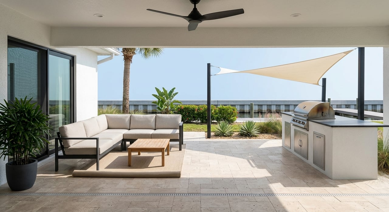
Everyday living realities
Most residents love the convenience of stepping from the patio to the boat. Still, it pays to plan for seasonal water level changes that can affect departure times. Monitor tide tables and wind forecasts before a run to the Gulf.
Expect some boat traffic and occasional noise, especially on peak weekends. Keep gutters and yard drainage clear to protect your seawall. If you are new to the area, learn local speed zones and manatee protections to keep waterways safe.
Long-term planning and resilience
Sea level rise is a long-term factor for any coastal property. Review county planning documents and resilience policies as part of your decision. For projects like seawall upgrades or elevation changes, discuss options with Hernando County and consult national resources such as NOAA sea level tools to understand future scenarios.
How we help
Buying or selling on the water is different. You want straight answers on access, permits, insurance, and market value. Our family team has lived and worked in Hernando County for nearly 30 years, and we pair hands-on local knowledge with modern marketing to make your move smooth and well-informed.
If you are weighing a waterfront purchase or preparing to sell, reach out. We will walk you through due diligence, coordinate inspections, and present your property with care.
Ready to talk waterfront strategy in Hernando Beach? Connect with Brian Kupres for personal guidance.
FAQs
Canal depth in Hernando Beach: how do I check it?
- Verify depth at mean low water using NOAA nautical charts, local marina guidance, and recent soundings if available.
Who pays for dredging and seawall repairs on canals?
- Responsibilities are defined in recorded maintenance agreements or HOA covenants, so review title documents and ask for the dredging history.
Do docks, lifts, and seawalls need permits in Hernando Beach?
- Yes, most construction or major repairs require permits from Hernando County and often state or federal agencies depending on the work.
What flood zone rules affect Hernando Beach waterfront homes?
- Use FEMA flood maps to identify your zone; lenders often require flood insurance in mapped zones and premiums depend on elevation.
Are there environmental limits like mangrove or manatee protections?
- Mangroves and seagrass are protected and manatee zones may apply, so consult FDEP and FWC rules before trimming or in-water work.
How do tides and seasonal water levels affect boating access?
- Even small tidal changes can impact shallow canals, and seasonal high or low water can affect bridge clearance, so plan trips around tide predictions.